
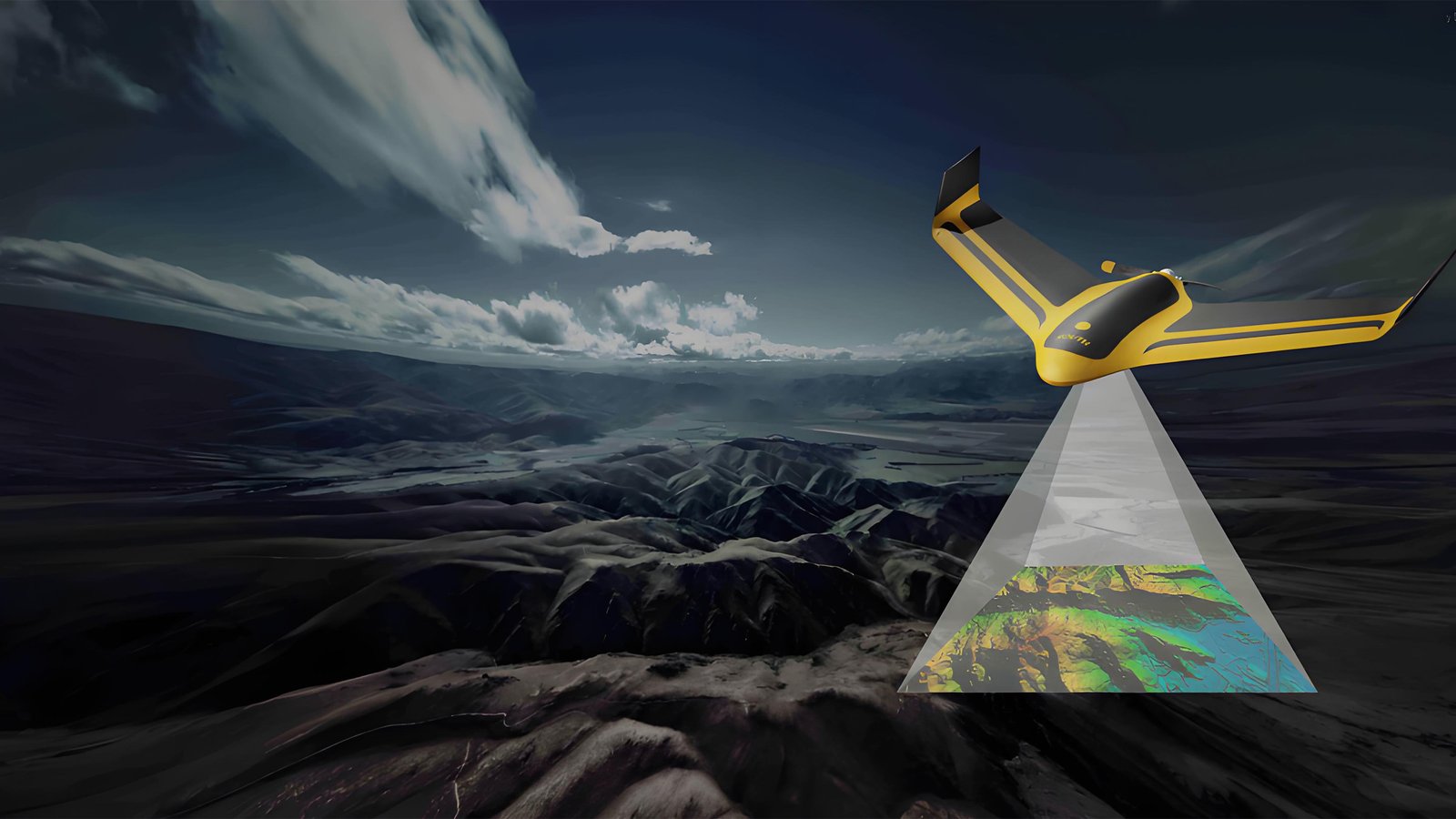
UAV Survey Mapping
Solution
High-Precision Aerial Photogrammetry and LiDAR Mapping for Accurate Geospatial Data Collection Across Any Terrain
Key Capabilities
- Real-time Kinematic (RTK) Positioning
- 3D Point Cloud Generation
- Orthomosaic & DSM/DTM Output
- Multi-spectral & Thermal Imaging
- GIS-Compatible Data Export
Why SoarApex
Addressing critical pain points in UAV survey mapping system with purpose-built communication and control systems
Industry Challenges
Low Accuracy in Rough Terrain
Traditional GPS struggles in mountainous or forested areas, producing inaccurate elevation models and distorted maps.
Data Gaps & Signal Loss
Long-range mapping missions often suffer from communication dropout, resulting in incomplete data coverage and rework.
Slow Processing Workflow
Manual data transfer and processing delays project delivery, missing critical deadlines for construction and planning.
Our Advantages
RTK + PPK Dual Positioning
Centimeter-level accuracy with real-time kinematic and post-processed kinematic correction for survey-grade results.
Long-Range Stable Data Link

MK22/55/80/100 SDL maintains uninterrupted telemetry and image transmission over 15km+~150km+ for seamless large-area coverage.
Automated Data Pipeline
One-click export to Pix4D, Bentley, and ArcGIS formats. Cloud-ready processing reduces turnaround by 60%.
Professional UAV Survey Mapping System for Every Industry
Our UAV Survey Mapping System delivers centimeter-level accuracy for aerial surveying, photogrammetry, and geospatial data collection. Whether you need topographic mapping, construction monitoring, or mining volume calculations, our integrated drone solution provides reliable results.
The UAV Survey Mapping System combines RTK positioning, long-range data links, and automated flight planning to reduce survey time by 80% compared to traditional methods.
Why Choose Our UAV Communication Control Systems?
- 2cm RTK accuracy for survey-grade results
- 10km² daily coverage with automated flight
- 4K photogrammetry + LiDAR compatibility
- 99.7% data integrity with redundant storage
- GIS-ready export to Pix4D, Bentley, ArcGIS
End-to-End Mapping Workflow
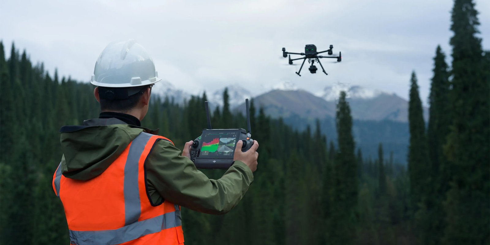
From flight planning to geospatial delivery, our integrated system ensures seamless mission execution
Flight Planning
Automated grid and corridor mission planning with terrain-following algorithms and no-fly zone integration
Autonomous Capture
RTK-triggered image capture at precise waypoints with 80% forward and 70% side overlap guarantee
Real-Time Link
Live telemetry and image preview via MK22 SDL with sub-50ms latency for immediate quality control
Geospatial Output
Auto-processing to orthomosaic, DSM, DTM, and 3D mesh. Export to CAD/GIS formats instantly
Integrated Product Ecosystem
Professional-grade components designed for high-precision UAV surveying mapping operations
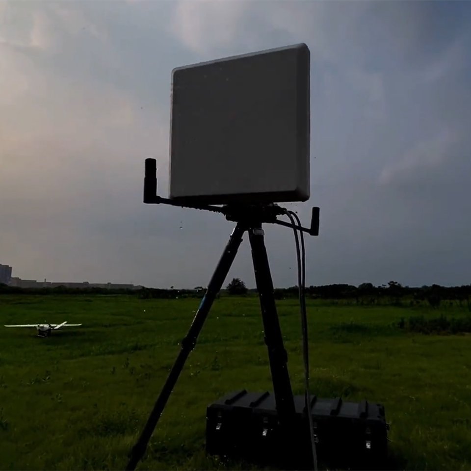
Auto-Tracking Antenna
High-gain directional antenna with auto-tracking for stable long-range communication in mapping missions
- 20dBi high forward gain
- 360° continuous rotation
- 5ms rapid target lock
- IP65 weatherproof
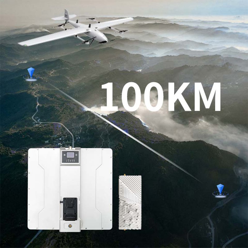
Wireless Video Data Link
Long-range broadband transmission system for HD video and survey data with ultra-low latency
- 100km+ transmission range
- 4K video + telemetry
- Self-healing mesh network
- AES-256 encryption
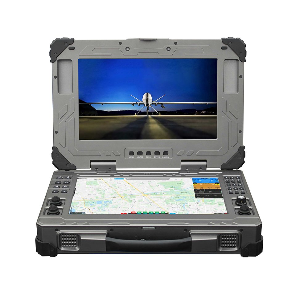
UAV/USV Control Station
Rugged dual-screen ground station for complex survey missions with real-time data visualization
- Dual 15.6″ HD displays
- UAV + USV dual control
- 8-hour battery life
- MIL-STD-810G ruggedized
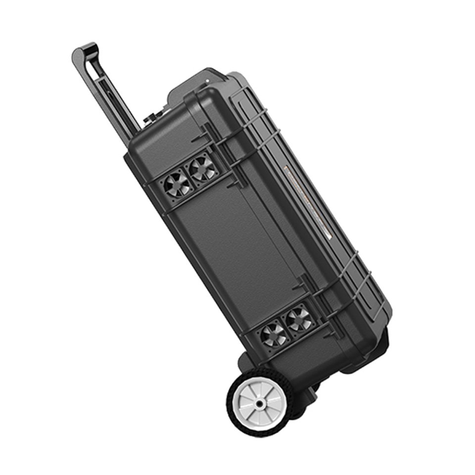
Industrial Power Station
Portable high-capacity power supply for extended field operations and off-grid survey missions
- 5kW to 30kW output
- Solar + AC charging
- LiFePO4 battery
- IP54 outdoor rated
Explore more solutions: UAV Powerline Inspection | Emergency Response | All Products
Application Cases
Real-world deployments demonstrating measurable operational improvements
Highway Construction Survey
Topographic mapping for 45km highway extension through mountainous terrain. Required 5cm vertical accuracy for cut-and-fill volume calculations.
Mine Site Volume Monitoring
Monthly stockpile volume measurement for open-pit copper mine. High dust and electromagnetic interference environment.
Our industrial drone intelligent C2 systems complies with FAA Part 107 commercial drone regulations and follows ASPRS mapping accuracy standards. Data processing compatible with Pix4D photogrammetry software.
Request a Quote or Demo
Our technical team will respond within 24 hours with customized recommendations for your survey and mapping project.
- info@soarapex.com
- +86 755 2324 3136
- Response within 24 hours