
SUPPORT CENTER
SoarApex – UAV C2 System Technology and Service Expert Assistance for Your UAV Operations, from Pre-Sales Consultation to After-Sales Service
Purchase Order
Find a distributor – Locate authorized resellers and check product availability in your region.
Find Distributor →Customized Product
Request SoarApex Technical support – Discuss your specific UAV requirements with our engineering team.
Request Customization →Dealer Service
Become a Dealer – Partner with SoarApex. Call +86-139-0299-6786 or reach us via WhatsApp.
Apply Now →Solution Service
Project Consultation – Get tailored UAV technical support solutions from our specialists.
Book Consultation →SoarApex UAV C2 System Technology and Service Center begins with UAV technical expertise. We provide 24/7 expert assistance for Industrial UAV Platforms, Antenna Tracking Systems, Integrated Data Links, Command & Control Terminals, and Power Solutions – from pre-sales consultation to after-sales troubleshooting.
FAQ – UAV C2 System Technology and Service
Find answers about SoarApex`s UAV C2 system technology and service, to solve your industrial project solutions
Ordering & Purchasing
Currently, we do not offer direct online retail purchases. Please use our Distributor Locator to find an authorized reseller in your region who can assist with product selection, pricing, and procurement. Or you can contact us to get support on UAV C2 system technology and service.
Product availability varies by region and model. You can check real-time stock status by contacting your nearest authorized distributor or by reaching out to our SoarApex Technical team at info@soarapex.com. For large-volume or enterprise orders, we recommend scheduling a UAV technical support consultation to confirm lead times and delivery schedules.
Products & Technical
We specializes in UAV industry application system integration and comprehensive application solutions backed by expert SoarApex UAV C2 system technology and service. Our core product portfolio includes:
- Fixed-Wing UAV Systems – Long-endurance platforms for mapping, surveillance, and inspection
- Multi-Rotor UAV Systems – Versatile platforms for precision agriculture, aerial photography, and industrial inspection
- Professional FPV Systems – High-performance first-person view solutions for racing and professional cinematography
- Smart Automatic Antenna Tracking Systems – Open-source compatible directional antenna systems for extended-range communication
- Integrated Data Link Systems – Robust wireless telemetry and video transmission solutions
- Command & Control Terminal Systems – Ground station solutions for mission planning, real-time monitoring, and fleet management
All products come with comprehensive SoarApex UAV technical support packages.
SoarApex’s Smart Automatic Antenna Tracking System is an intelligent directional antenna solution designed to maintain optimal RF link quality during UAV operations. Our SoarApex UAV C2 system technology and service team provides full UAV technical support for installation and calibration. Key features include:
- Auto-Tracking: Real-time pan/tilt adjustment to lock onto UAV position using GPS telemetry
- Open-Source Compatibility: Supports MAVLink and other standard protocols for seamless integration
- Extended Range: Directional high-gain antennas significantly extend operational communication range
- Multi-Band Support: Configurable for 900MHz, 1.4GHz, 2.4GHz, and 5.8GHz bands
- Ground Station Integration: Direct interface with SoarApex C&C terminals and third-party GCS software
This system is essential for BVLOS (Beyond Visual Line of Sight) operations and long-range missions where maintaining a stable data link is critical. Contact SoarApex technical documentation.
Our Integrated Data Link System is a unified wireless communication solution that consolidates multiple data streams into a single robust RF link. SoarApex Technical specialists provide UAV technical support for deployment and troubleshooting. It provides:
- Telemetry & Control: Bidirectional command and status data transmission
- HD Video Transmission: Low-latency video feed for FPV and monitoring
- Frequency Hopping: Anti-interference technology for reliable operation in complex RF environments
- Encryption: AES-256 encryption for secure military and commercial applications
- Multi-UAV Support: Networked architecture enabling simultaneous management of multiple aircraft
Available in various form factors for fixed-wing, multi-rotor, and portable ground station deployments. Contact our UAV technical support team for configuration guidance.
The SoarApex Command & Control (C&C) Terminal System is a comprehensive ground station platform that serves as the operational hub for UAV missions. Backed by dedicated SoarApex UAV technical support, features include:
- Mission Planning: Waypoint-based flight planning with 3D terrain analysis
- Real-Time Monitoring: Live telemetry, video, and sensor data visualization
- Fleet Management: Multi-aircraft coordination and task allocation
- Data Processing: Onboard georeferencing, orthomosaic generation, and AI analytics
- Rugged Design: IP65-rated hardware for field operations in harsh environments
- SDK & API: Open architecture for custom application development and third-party integration
Learn more about our C&C Terminal Systems and available SoarApex packages.
SoarApex – Partnership
SoarApex welcomes partnerships with UAV distributors, system integrators, and solution providers worldwide. Our SoarApex team guides you through the entire process. To become an authorized dealer:
- Submit your company profile and business plan via our Dealer Application Form
- Our SoarApex Technical partnership team will review your technical capabilities and market coverage
- Complete product training and UAV technical support certification programs
- Sign the authorized dealer agreement and receive marketing support
Benefits include competitive pricing, technical training, co-marketing opportunities, and priority access to new products. Contact our UAV C2 System Technology and Service team at info@soarapex.com or call +86-139-0299-6786 for details.
Authorized dealers have access to our partner portal for real-time inventory checking and order placement. If you are an existing dealer, please log in to the Dealer Portal. Prospective partners can request a product catalog and availability report by contacting our sales team.
SoarApex Future
SoarApex is advancing our antenna tracking technology with the following roadmap, supported by ongoing SoarApex Technical research:
- AI-Powered Tracking: Machine learning algorithms for predictive antenna positioning based on flight dynamics
- Phased Array Antennas: Next-generation electronically steered arrays eliminating mechanical moving parts
- Satellite Integration: Hybrid terrestrial/satellite communication for global BVLOS coverage
- 5G/6G Ready: mmWave support for ultra-high-bandwidth applications
- Swarm Coordination: Multi-target tracking for coordinated UAV swarm operations
Stay updated on our innovations through SoarApex News or contact our UAV C2 system technology and service for early access programs.
Our data link evolution focuses on reliability, bandwidth, and interoperability. SoarApex Technical engineers are developing:
- Software-Defined Radio (SDR): Frequency-agile platforms adaptable to any regulatory environment
- Mesh Networking: Self-healing multi-hop networks for complex operational scenarios
- Edge Computing: Onboard data preprocessing to reduce latency and bandwidth requirements
- Quantum-Resistant Encryption: Post-quantum cryptographic standards for future-proof security
- Interoperability Standards: Full compliance with emerging UTM (UAS Traffic Management) protocols
For technical specifications, contact our UAV technical support team.
The next generation of SoarApex C&C terminals will redefine UAV mission management, with comprehensive integration:
- Cloud-Native Architecture: Browser-based GCS with cloud synchronization and collaborative mission editing
- Digital Twin Integration: Real-time 3D simulation mirroring actual flight conditions
- Autonomous Mission AI: Self-adaptive mission replanning based on dynamic environmental changes
- Multi-Domain Operations: Unified control for aerial, ground, and maritime unmanned systems
- AR/VR Interface: Immersive holographic displays for intuitive spatial awareness and control
- Predictive Maintenance: AI-driven health monitoring and preemptive component replacement alerts
Learn more about our product roadmap or schedule a demo with our UAV technical support specialists.
SoarApex Support Solutions
Comprehensive UAV technical support for every stage of your mission
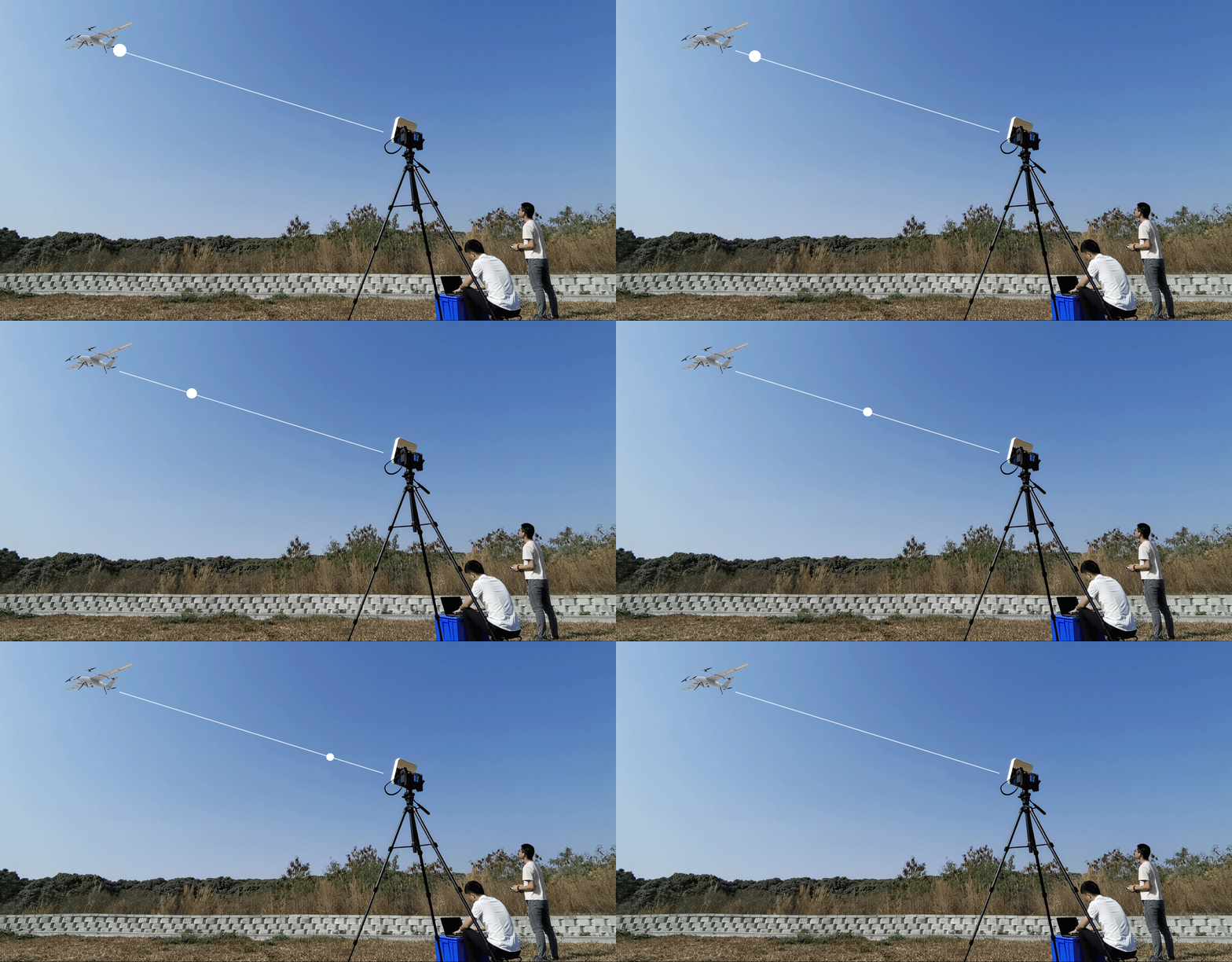
Antenna Tracking Support
Expert calibration and troubleshooting for directional antenna systems.
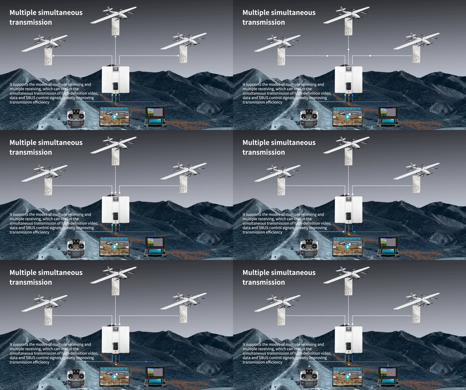
Data Link Support
RF optimization and link diagnostics for reliable communication.
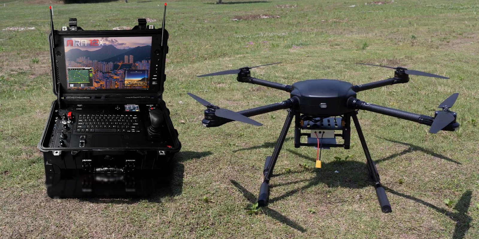
Ground Station Support
Mission planning assistance and software configuration guidance.
Still Need Help?
SoarApex Customer Support Team is ready to assist you.
Go to Contact SoarApex Page