
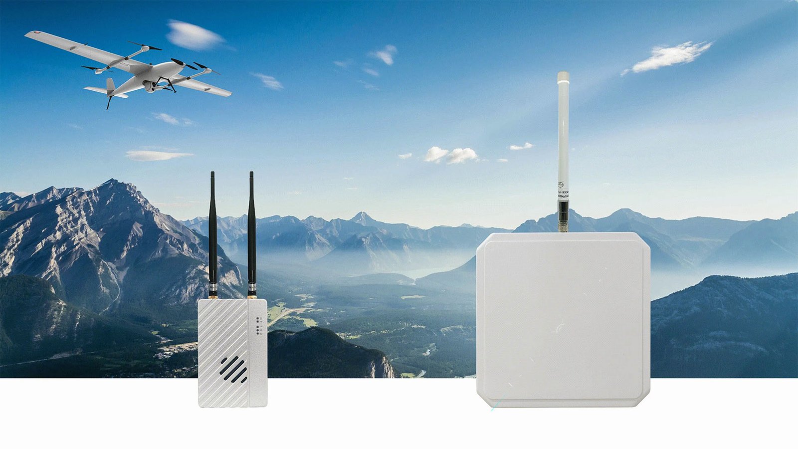
DLS Standard 22km UAV Data Link System with Auto-Tracking
System-level integrated solution combining SoarApex long-range HD data/video transmission with ATS-series automatic antenna tracking gimbal. Delivers stable bi-directional HD video and flight control data over 22km — engineered for industrial BVLOS missions.
Four layers of engineered reliability
The DLS standard 22km drone video link is not a single radio — it is a four-layer system spanning RF transmission, link management, antenna tracking, and interface integration. Each layer is engineered to keep the link alive under real-world conditions.
RF & Modulation
OFDM modulation with configurable 3/5/10/20 MHz bandwidth across 800MHz, 1.4GHz, and 2.4GHz bands.
Link Management
AES-encrypted bi-directional link with 30Mbps air data rate and sub-30ms end-to-end latency.
Antenna Tracking
ATS-basic gimbal drives a high-gain panel to maintain <0.5° pointing accuracy at up to 300°/s slew rate.
Interface & Integration
Dual RS232, dual SBUS, Ethernet, and dual-band Wi-Fi for flight-controller and payload integration.
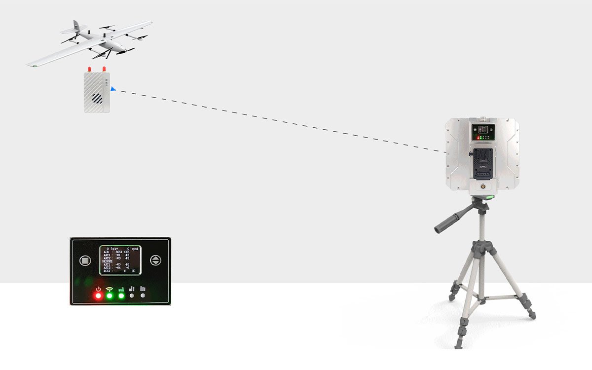
22km stable link with adaptive multi-band RF
The MK22 air unit pairs an OFDM radio with configurable bandwidth and three license-free frequency bands. Operators can switch bands to match regional regulations or escape local interference — without replacing hardware.
- 22 km line-of-sight range in open terrain
- 30 Mbps peak air data rate for 1080P HD video
- <30 ms end-to-end latency for control-loop safety
- ≤-92 dBm receiver sensitivity for weak-signal recovery
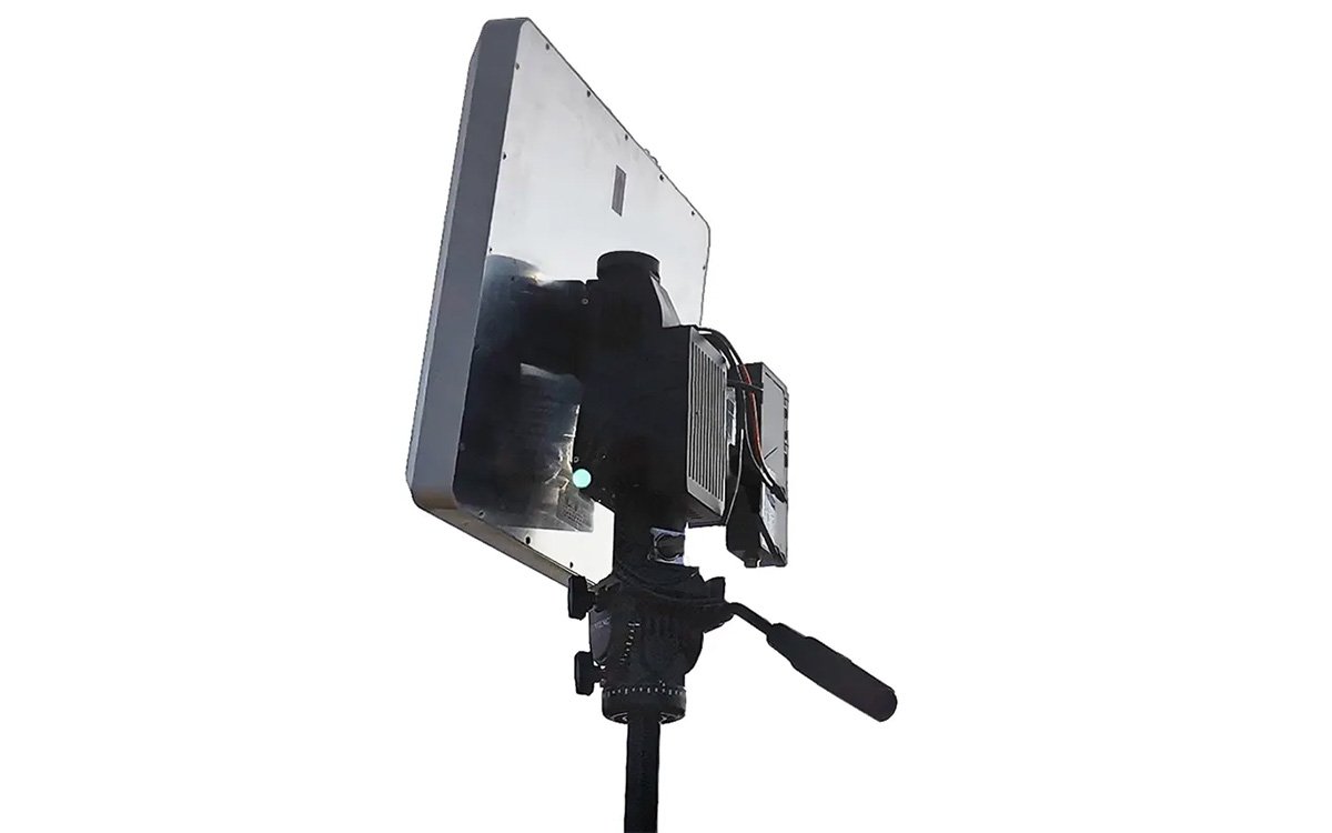
Hands-free tracking at 0.5° pointing accuracy
The MF18 gimbal parses Mavlink telemetry to extract the UAV’s latitude, longitude, and altitude in real time. It then drives a high-gain directional antenna to keep the beam locked on the aircraft — even during high-speed maneuvers.
- 360° continuous azimuth with automatic lock-on
- <0.5° horizontal tracking error for maximum gain
- 300°/s slew rate to follow high-speed flight
- Mavlink-compliant telemetry parsing, no extra GPS required
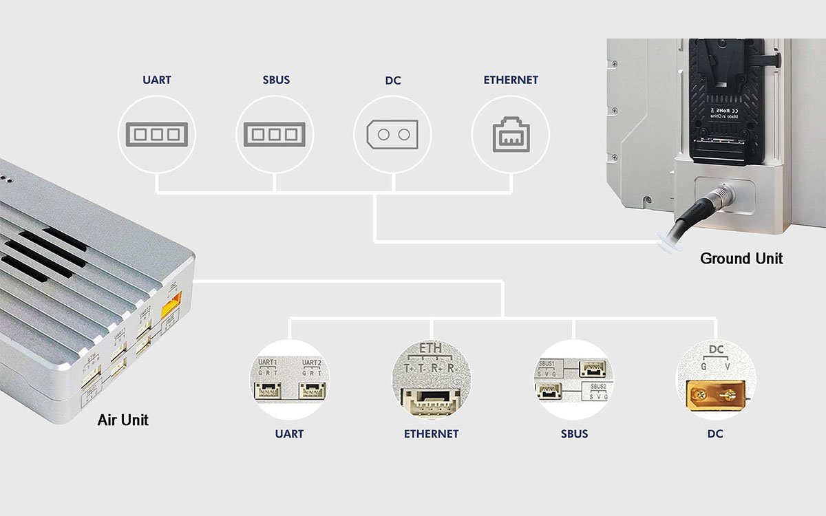
Built for flight-controller and payload integration
The ground station consolidates network, serial, SBUS, and power into a single aviation-grade cable. The air unit provides dual UART ports, dual SBUS channels, and Ethernet — enough for mainstream flight controllers and multi-payload missions.
- Dual RS232 with configurable baud rate (115200 default)
- Dual SBUS input/output for RC signal forwarding
- Ethernet (RJ45 on ground, 4-pin on air) for IP payloads
- Mavlink & transparent protocol support via web UI
Industrial-grade design for extreme environments
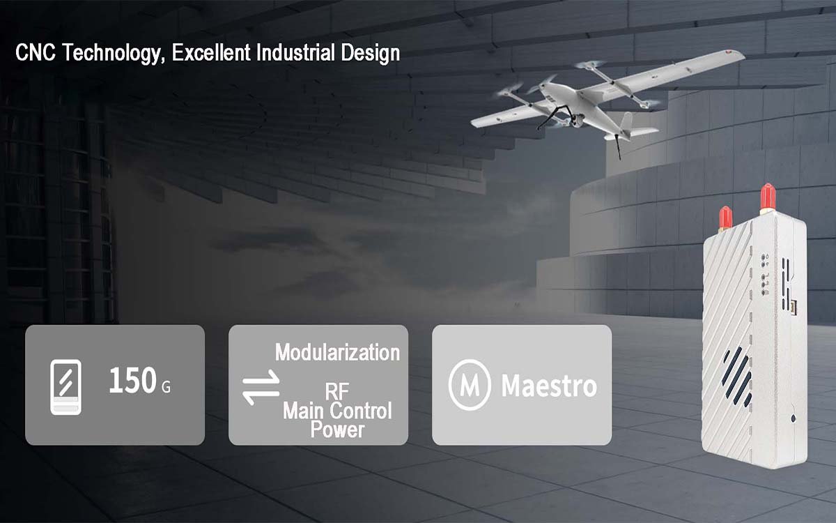
From -40°C cold starts to +70°C desert operations, the BVLOS drone data link is built to stay online. Modular air unit construction, dual power inputs, and an OLED status display minimize field setup time and eliminate guesswork during antenna alignment.
- -40°C to +70°C operating temperature range
- 150 g air unit for minimal payload penalty
- DC 9–28V wide input with dual power paths
- OLED display for real-time link and signal diagnostics
Core Performance Metrics
MK22 + MF18 system specifications
Where 22 km data link changes the mission
The DLS standard UAV data link system is engineered for operators whose missions extend beyond visual line of sight. Each scenario below maps to a specific set of link requirements — range, bandwidth, tracking speed, and environmental tolerance.
Long-Line Linear Inspection
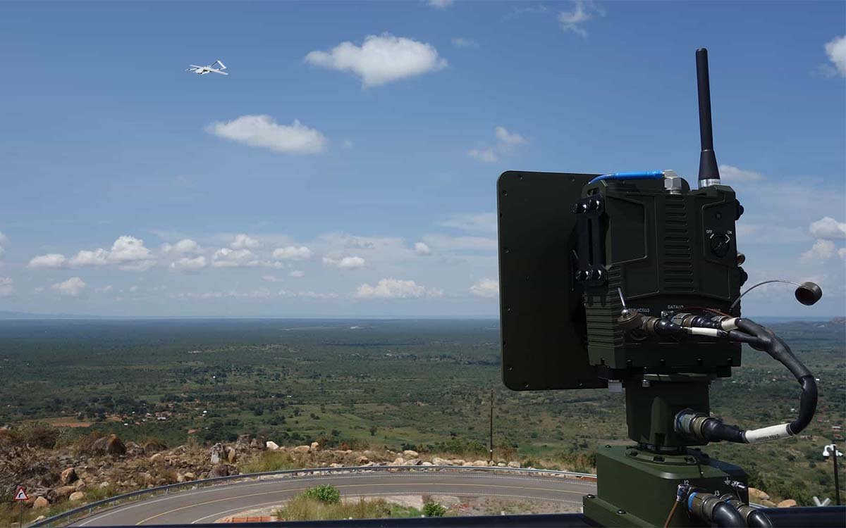
Powerline, pipeline, and railway corridors require continuous HD video downlink over tens of kilometers. The 22 km link and automatic tracking keep the feed stable while the ground vehicle advances along the corridor.
Wide-Area Survey & Mapping
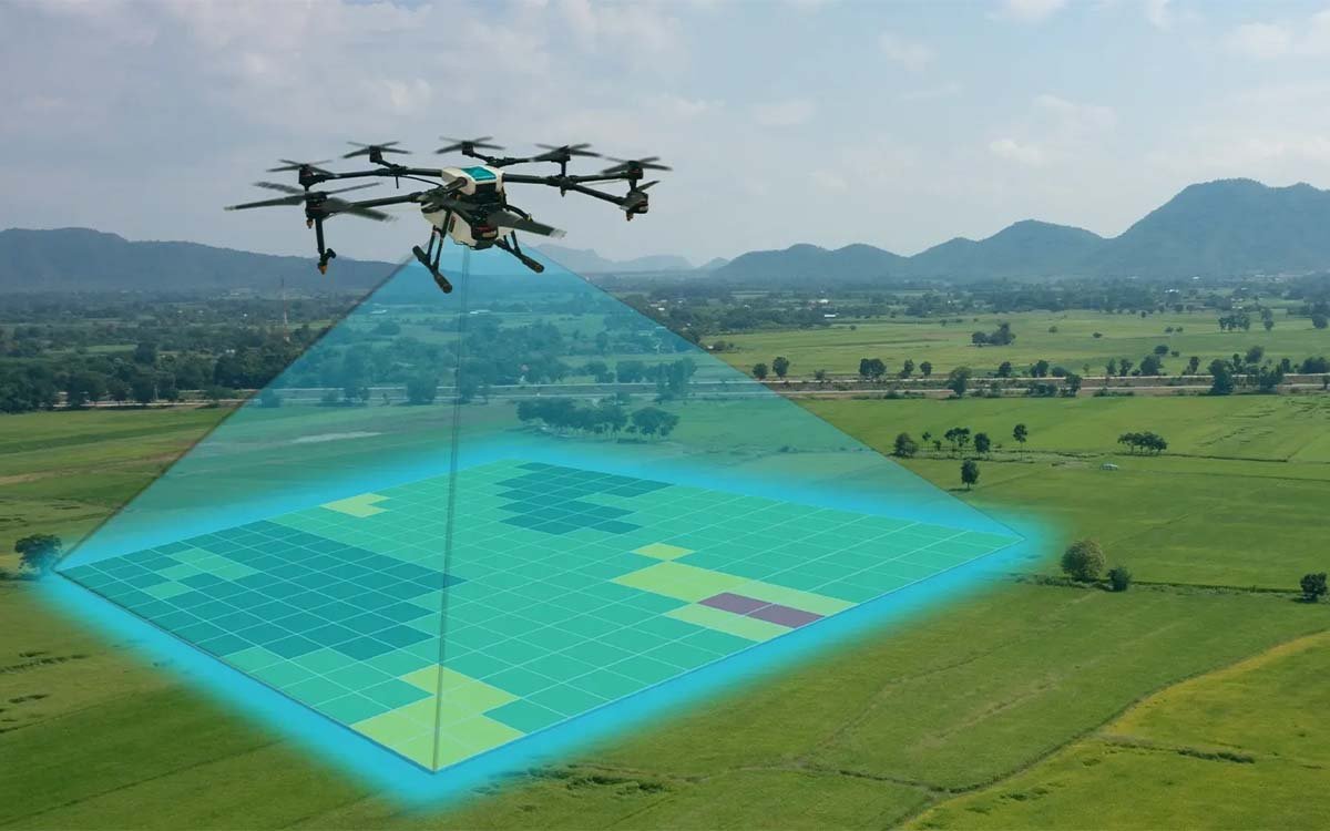
Photogrammetry and LiDAR missions generate large data volumes. The 30 Mbps air data rate supports real-time monitoring, and the 22 km range lets a single ground station cover survey blocks that would otherwise require multiple setups.

Emergency & Disaster Response
Incident command requires immediate aerial situational awareness. The system powers on without leveling, auto-acquires the UAV, and delivers a live feed to the command post — including in extreme temperatures from -40°C to +70°C.
Maritime & Offshore Operations
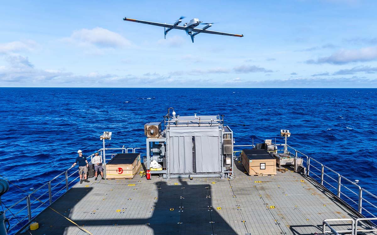
Vessel-based operations introduce continuous roll, pitch, and yaw. The MF18 gimbal’s 300°/s slew rate and 0.5° pointing accuracy keep the antenna locked on the UAV even during high-speed maneuvers, extending the operational radius beyond coastal station coverage.
Multi-Payload Research & Integration
Research platforms often carry multiple sensors and require flexible data routing. Dual RS232, dual SBUS, Ethernet, and Mavlink/transparent protocol support let integrators build custom payload pipelines without replacing the radio core.
How to Match the BVLOS drone data Link to the Mission
Three decision axes before deployment
Range & Line-of-Sight
Nominal 22 km range assumes clear LOS. In urban or mountainous terrain, plan for 60–70% of nominal range to preserve link margin.
Frequency Band
800 MHz for penetration and long range; 1.4 GHz for balanced performance; 2.4 GHz for high versatility. Choose based on regional regulation and interference.
Tracking Dynamics
Slow survey flights tolerate lower slew rates. High-speed or maneuvering missions need the 300°/s tracking capability and <0.5° pointing accuracy that MF18 provides.
More than a supplier — an engineering partner
Sourcing an UAV data link system is easy. Making it work reliably in the field, at 22 km, in -40°C, with a custom payload — that requires engineering support at every stage. Here is what you get when you work with SoarApex.
System-Level Integration
The DLS standard is not a radio in a box. It is a complete system combining the MK22 UAV data link system with the MF18 tracking gimbal — pre-integrated, pre-tested, and delivered as one working solution.
- Radio + gimbal + antenna integrated at delivery
- Plug-and-play between air and ground units
- One vendor for the entire link chain
Field Engineering Support
Every deployment has constraints the datasheet cannot anticipate — terrain, interference, regulatory limits. Our engineers work with your team on frequency planning, flight-path margin, and integration specifics.
- Pre-sales engineering consultation on system config
- On-site commissioning support available
- 24/7 technical response for field issues
Long-Term Spare Parts
Industrial drone data links stay deployed for years. We commit to keeping critical components — RF modules, gimbal motors, antenna assemblies — available throughout your system’s operational life.
- 10-year spare parts commitment
- Modular design for field-replaceable modules
- Documented service lifecycle per unit
Customization Without Compromise
Off-the-shelf works for standard missions. For everything else — custom frequency bands, non-standard Mavlink parsing, OEM integration, or specific payload routing — we modify the system at the protocol and hardware level, not just relabel it.
- Custom frequency bands beyond 800MHz / 1.4GHz / 2.4GHz
- Protocol adaptation for non-standard Mavlink implementations
- OEM hardware integration with your flight controller or payload
- Custom key management via Maestro Assistant or private deployment
Global Delivery Track Record
SoarApex UAV data link systems operate across powerline, emergency response, survey, and maritime missions in multiple regulatory environments. We understand the paperwork, the frequency approvals, and the shipping logistics that come with international UAV deployment.
- Multi-region regulatory deployment experience
- Export documentation and customs support
- Local partner network in key markets
- English + Chinese technical documentation
Trusted by operators who cannot afford a link failure
BVLOS drone data link reliability is not a specification — it is an accumulated outcome across hundreds of deployments. These numbers reflect how SoarApex systems perform when they matter.
Request a System Consultation
Every BVLOS mission has its own constraint set — terrain, spectrum, platform, and regulatory environment. Tell us your operational requirements and our engineering team will configure the right MK22 + MF18 system for your deployment, from a single unit to a fleet-level rollout.
- 22 km LOS Range · 800MHz / 1.4GHz / 2.4GHz Configurable
- 30 Mbps Air Data Rate · 1080P HD Video Downlink
- MF18 Auto-Tracking · 360° Azimuth · <0.5° Error
- Dual RS232 / Dual SBUS / Ethernet · Mavlink Ready
- -40°C ~ +70°C · 150g Air Unit · Modular Design
System Configuration Request
Fill in your mission details below. Our engineering team responds within 24 hours.