
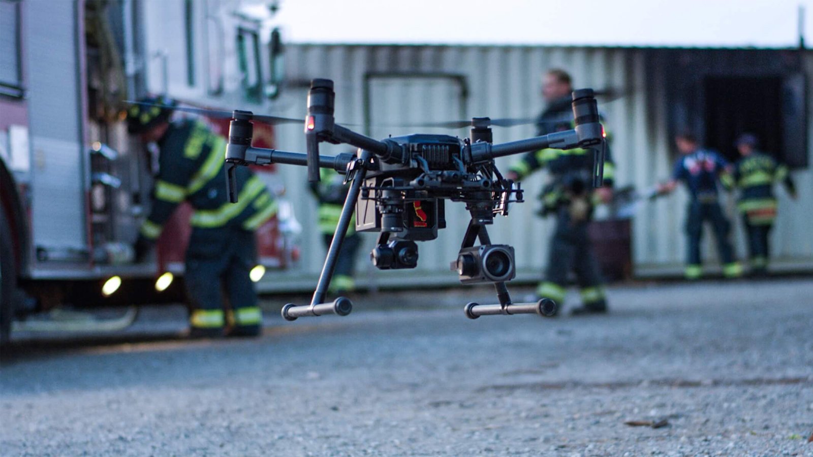
UAV Tracking & Control System
for Emergency Response
Quickly and accurately handling dangerous situations and ensuring personnel safety. The UAV Tracking & Control System enables emergency personnel to obtain accurate data support in a timely manner, improving decision-making ability and work safety.
How Can Drone Accessories Empower Emergency Response?
Quickly and accurately handling dangerous situations and ensuring personnel safety are major challenges in emergency work.
Urban Fire Rescue
Rapid reconnaissance, control the situation on site, and achieve coordinated command from the front and rear through video feedback.
Learn More →Forest Fire Prevention and Extinguishing
Automated beyond visual range patrol and tracking assist in efficient fire prevention, while high-altitude perspective assists in precise firefighting.
Learn More →Wilderness Lost Rescue
Unrestricted by terrain and lighting, multi-dimensional search, quickly locate the location of lost persons.
Learn More →Natural Disaster Rescue
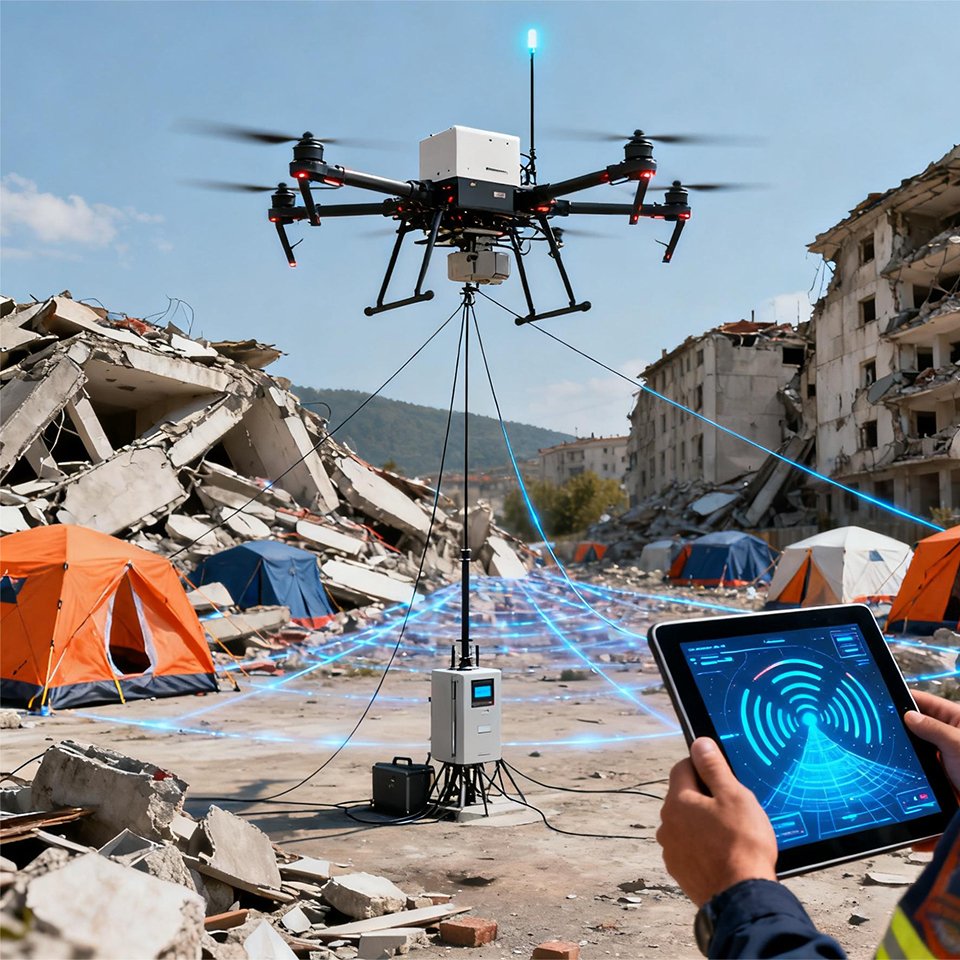
Long distance communication provides real-time access to the overall information of the disaster area, assisting in the rapid establishment of emergency networks.
Learn More →Urban Fire Rescue
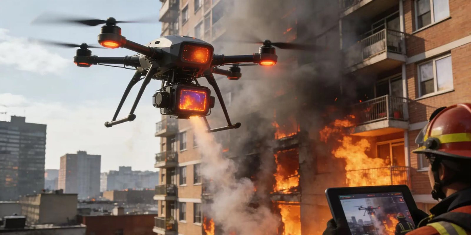
Event Challenge
In large-scale chemical plants and warehouse fires, the on-site environment is complex and the fire area is large, making it extremely risky for firefighters to enter the fire scene without information.
When obstructed by buildings and smoke, firefighters find it difficult to accurately identify the ignition point and high-temperature area, making it difficult to make timely and reasonable deployments.
In post disaster assessment, traditional floor plans and photos are difficult to intuitively reflect the on-site situation, and firefighters need information technology equipment to improve work efficiency and safety.
Advantages of Tracking Communication and Data Link Systems
SoarApex Systems can quickly build a three-dimensional monitoring system to replace investigators who can go deep into the central area of the fire scene to obtain information in a timely manner.
In order to present the scene comprehensively as soon as possible, the drone tracking system can penetrate smoke and some building obstructions, obtain temperature distribution, and assist firefighters in accurately identifying the ignition point and high-temperature area.
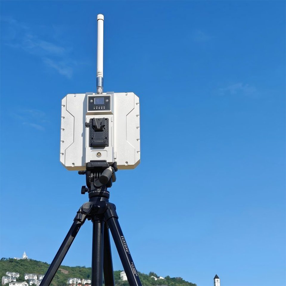
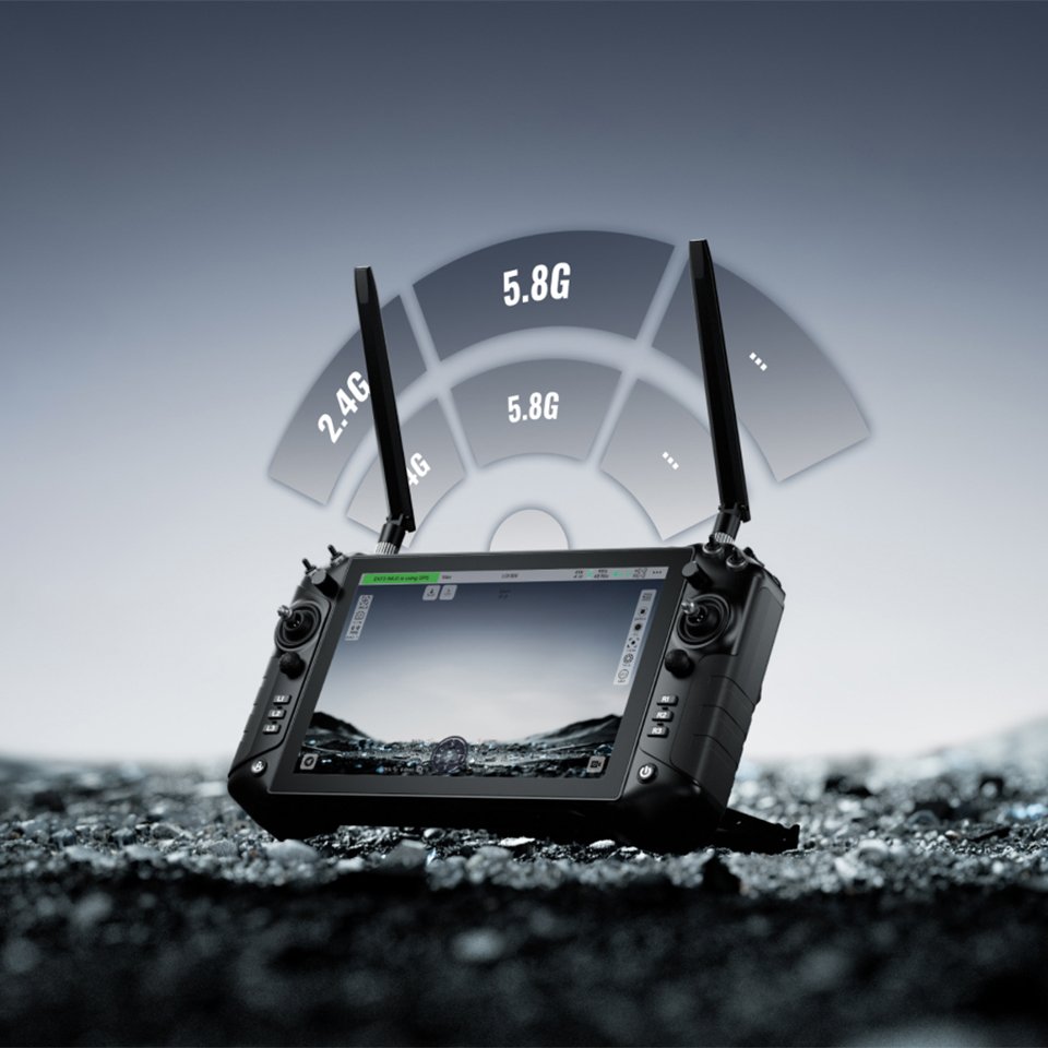
The live footage is transmitted back to the rear command center in real-time through a integrated data link wireless network. Enable command personnel to grasp on-site information and scientifically command and dispatch.
The ground station system can also perform fast 2D and 3D modeling of the site, obtain accurate visualization information, and assist in the development of fire plans or loss assessments.
Forest Fire Prevention and Extinguishing
Event Challenge
Due to inconvenient transportation, complex terrain, and limited visibility in forest areas, traditional manual patrols have high costs, heavy tasks, and slow response times.
When a forest fire occurs, the on-site fire situation is constantly changing, and global fire situation information is needed to assist in accurately scheduling the entry or exit route of the ignition force.
The power supply for outdoor operations is tight, which cannot guarantee the long-term electricity demand for drones and communication equipment.
Advantages of Tracking Communication and Data Link Systems
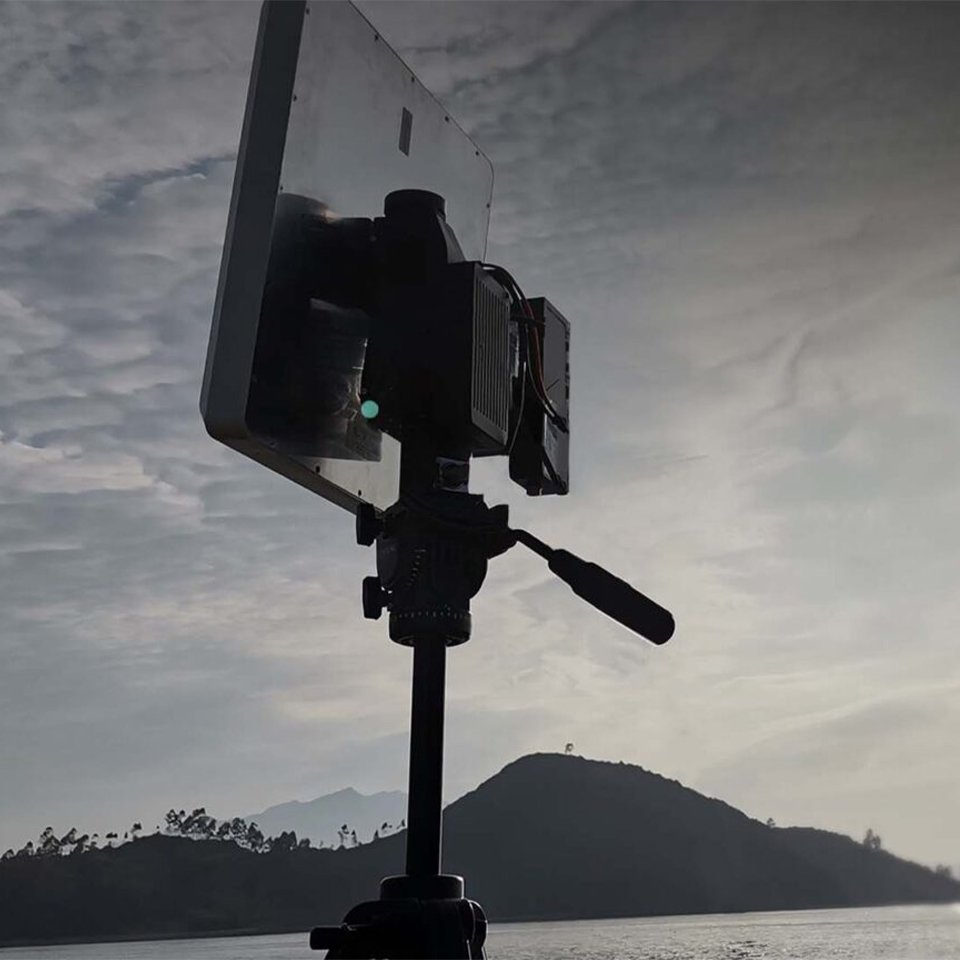
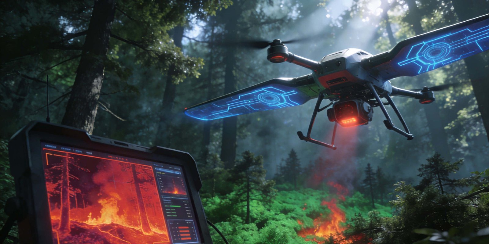
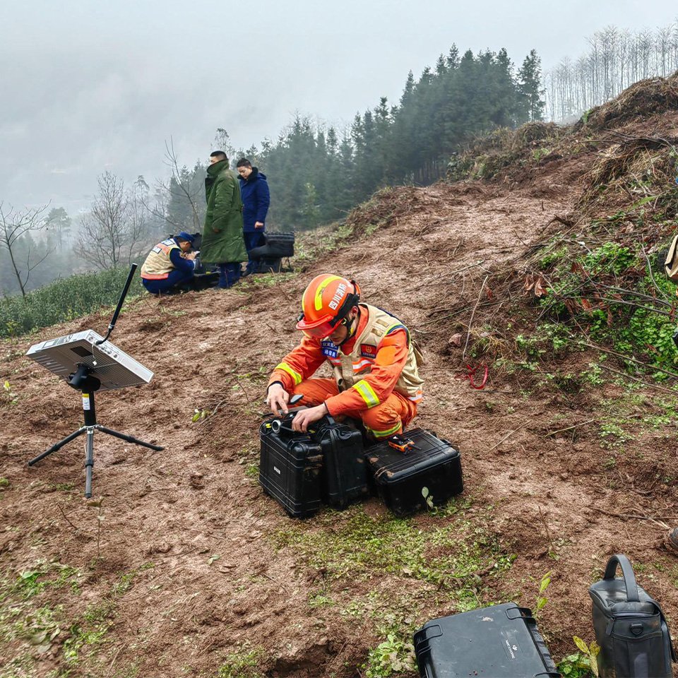
In daily fire prevention work, the SoarApex unmanned aerial vehicle communication data system can quickly carry out automated patrols in large forest areas, greatly improving patrol efficiency and detecting fires in a timely manner.
At the fire extinguishing site, the unmanned aerial vehicle tracking and data processing system can quickly obtain a global perspective and information of the fire scene, as well as the distribution of fire line positions.
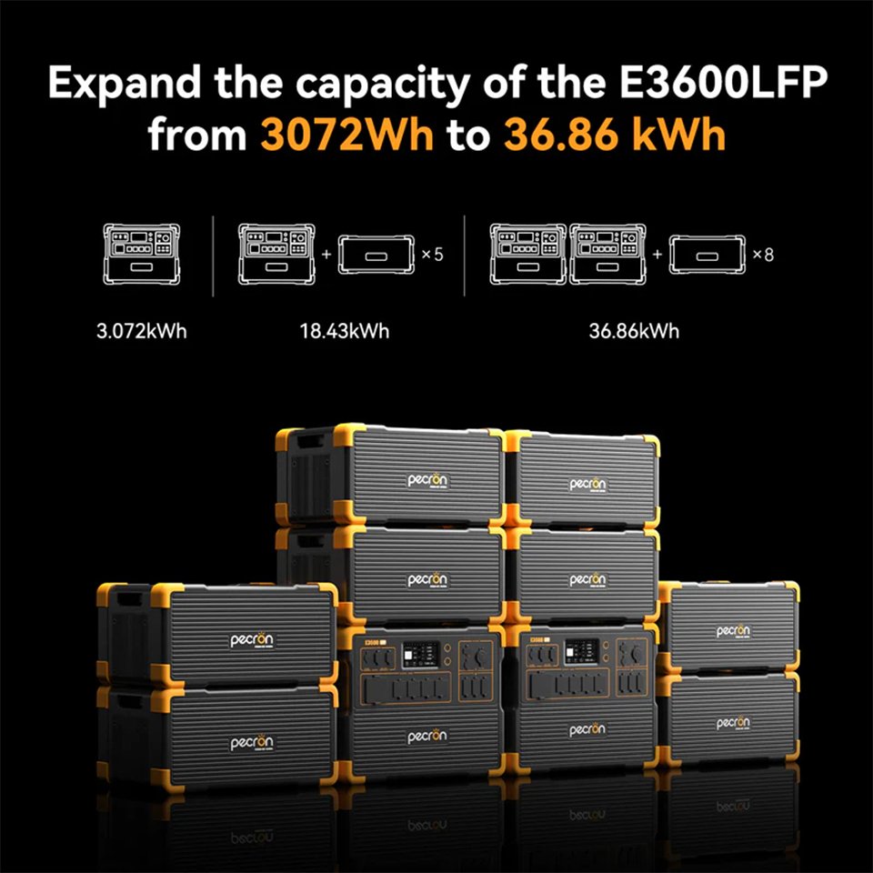
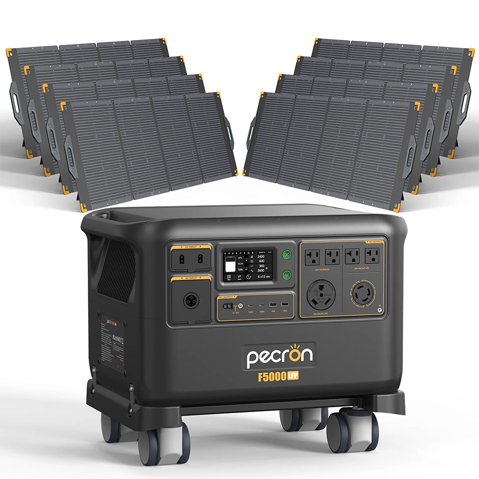
SoarApex outdoor portable power stations can provide power expansion ranging from several kilowatts to tens of kilowatts, equipped with solar charging versions that can perform solar charging to meet long-term electricity needs.
Additional Emergency Scenarios
Comprehensive UAV solutions for diverse emergency response operations.
Contact Us
Our emergency response team is available 24/7 to assist with your urgent requirements.
Emergency Support
For urgent emergency response equipment needs, our technical team provides rapid response and deployment guidance.
Email Us
info@soarapex.com
saga@soarapex.com
Call Us
+86 755-2324-3136
24/7 Emergency Hotline
Visit Us
Shenzhen, China
Global distribution network