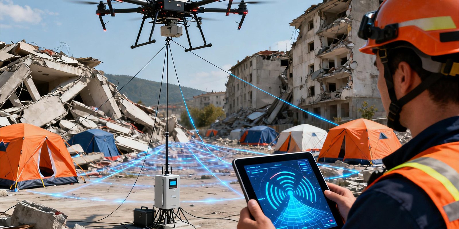
BVLOS Automatic Antenna Tracking System (ATS)
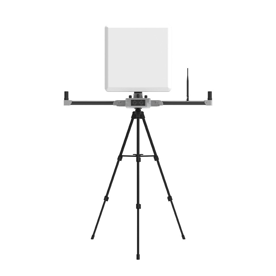
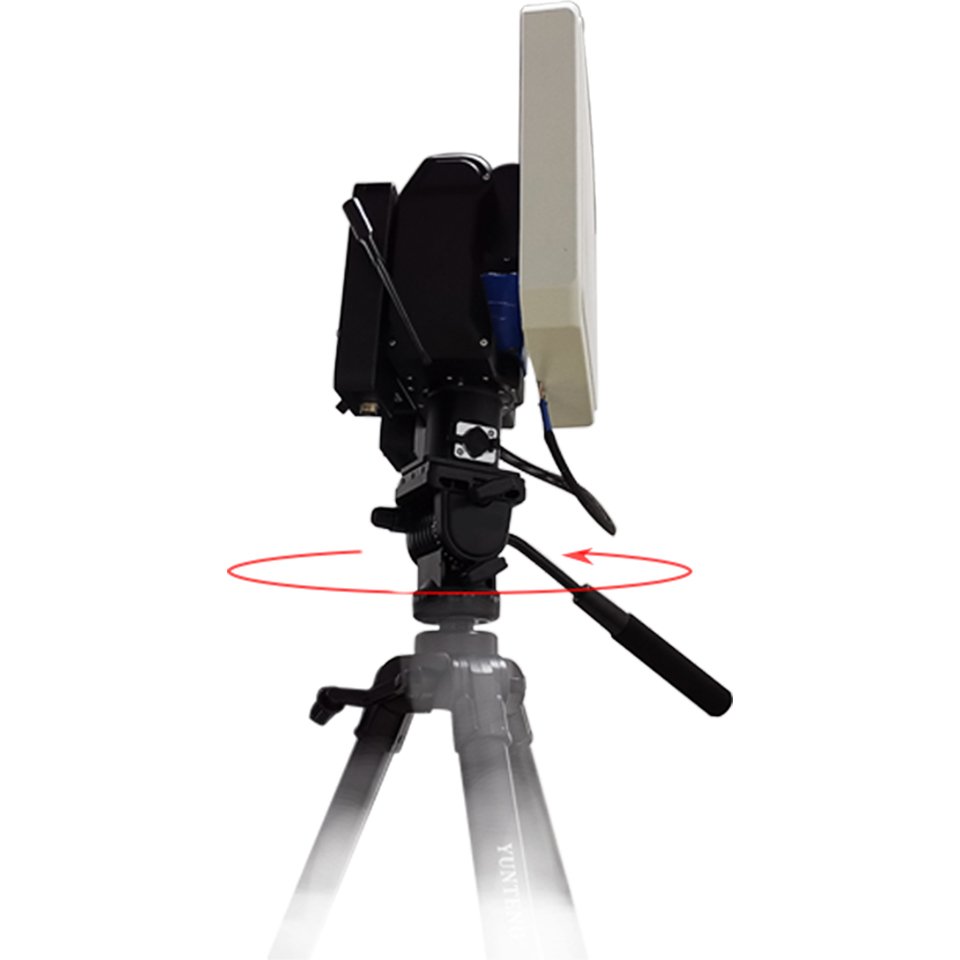
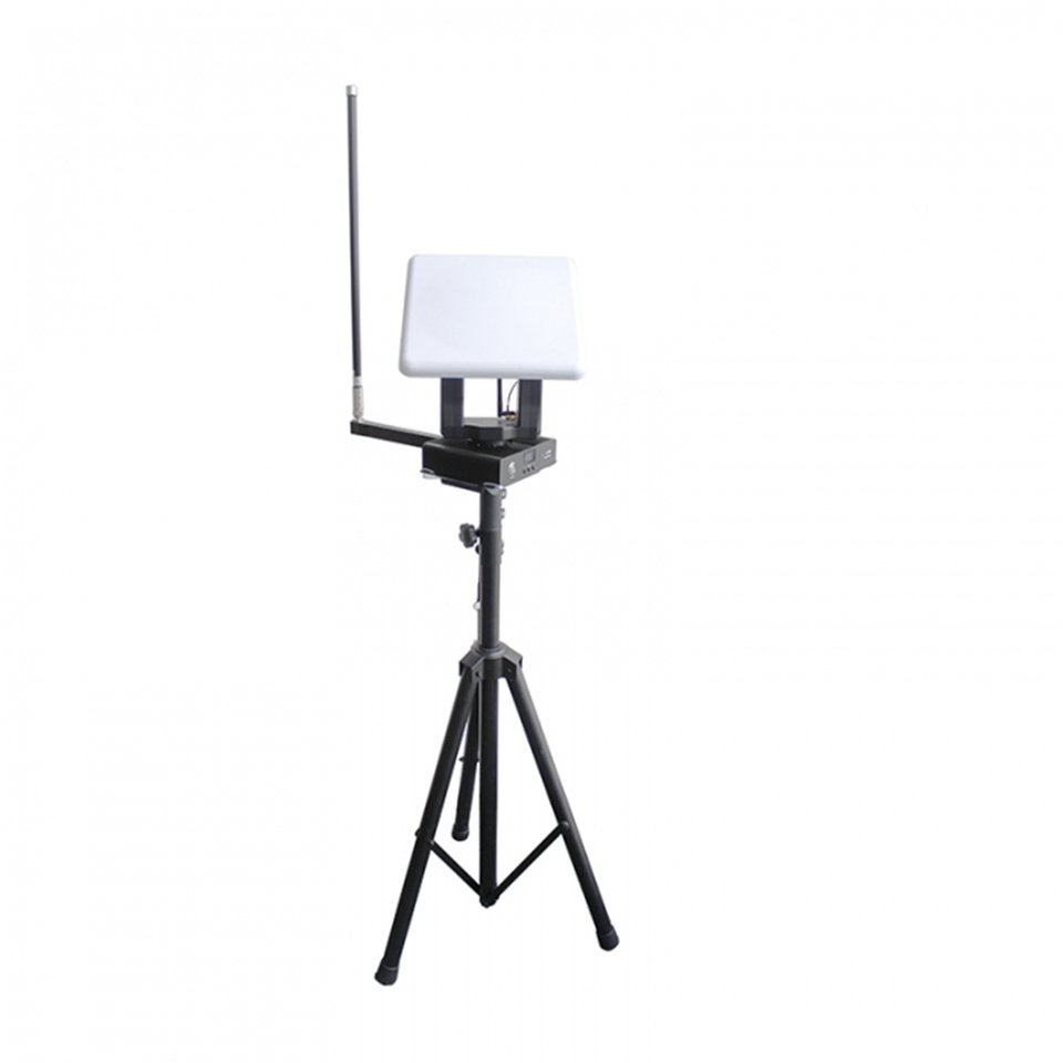
SoarApex`s BVLOS Automatic Antenna Tracking System is an advanced system that utilizes intelligent antenna technology, satellite communication, and inertial navigation to achieve stable communication and precise tracking of UAVs under BVLOS conditions. Its core lies in utilizing adaptive beam forming, multi band fusion, and real-time motion compensation technology to ensure reliable data link connection between unmanned aerial vehicles and ground stations or satellites in complex environments. SoarApex Technology Ltd provide system solutions on BVLOS Automatic Antenna Tracking System for your industry project applications. To view more products, pls click Command & Control Terminal, Integrated Data Link and Power Station Solution Products.

BVLOS Antenna Tracking System Solution (ATS) Products
-
ATS 110km Long Distance Antenna Tracking System
Original price was: $3,999.00.$2,999.00Current price is: $2,999.00. -
ATS 20 Professional UAV BVLOS Antenna Tracking System
Original price was: $6,999.00.$4,999.00Current price is: $4,999.00. -
MF18 UAV Automatic Antenna Tracking System
Original price was: $2,999.00.$1,999.00Current price is: $1,999.00. -
Outdoor Portable Expansionary Industrial Power Station
Price range: $299.00 through $2,999.00 -
SAT45 28km Autel Smart Antenna Transmission System
Original price was: $9,999.00.$8,999.00Current price is: $8,999.00.
Why Choose BVLOS Antenna Tracking System?
BVLOS Automatic Antenna Tracking System Technical Principles and Core Mechanisms
- Smart antenna and adaptive beam-forming: The smart antenna adopts an array structure and dynamically adjusts the beam direction through digital signal processing technology to enhance the target signal strength and suppress interference. For example, in unmanned aerial vehicle systems, smart antennas can achieve coordinated tracking of multiple targets (such as ground stations or satellites), enhancing resistance to multi-path interference and anti-interference capabilities.
- Satellite communication and tracking servo system: Over the horizon communication often relies on satellite relays. Airborne parabolic antennas track geostationary satellites in real-time through a three-axis servo system. Tracking technology based on inertial navigation, such as single pulse or cone scanning, can isolate the movement of the drone itself, ensure that the antenna is always aligned with the satellite, and achieve high-speed response and reliable communication.
- Multi band fusion and polarization matching: The system needs to support multiple frequency bands (such as L1/L2/L5 for industrial grade drones and 2.4GHz/5.8GHz for consumer grade drones) to cope with signal occlusion and multi-path effects. The design of right-handed circularly polarized antenna can reduce reflection loss, especially suitable for high-speed moving scenes.

BVLOS Automatic Antenna Tracking System Key Technologies and Implementation Methods
- Relay communication technology: Beyond visual range control requires overcoming the curvature limitations of the Earth. Common methods include:
- Drone relay: Deploy relay drones as aerial base stations to form directional communication links and extend control distances to hundreds of kilometers.
- Satellite relay: achieving over a thousand kilometers of line of sight control through satellites (such as the satellite antenna carried by the Global Hawk drone), suitable for strategic level missions.
- Inertial navigation and motion compensation: High precision inertial navigation system measures the real-time motion status of unmanned aerial vehicles, dynamically adjusts antenna orientation through coordinate system conversion and navigation calculation, and ensures stable communication links.
- Anti interference and multi-path optimization: Smart antennas improve signal quality in complex electromagnetic environments through spatial division multiple access and beam forming technology. For example, multi band compatible designs (such as supporting BDS, GPS, Galileo) can enhance the reliability of scenarios such as mountainous areas or urban canyons.
Application scenarios and advantages
- Military and Strategic Tasks: Military drones (such as Predator and Global Hawk) achieve beyond line of sight remote control through satellite relays and directional antennas, supporting long endurance reconnaissance and long-range strike missions.
- Industrial and Civil Fields: Surveying and Agriculture: Combining RTK technology (real-time dynamic positioning) to achieve centimeter level accuracy, used for terrain mapping, precise seeding, or pesticide spraying. Emergency rescue: In disaster scenarios, use low profile antennas and L-Band frequency bands to penetrate obstacles and transmit real-time data.
- Summary of advantages: Communication distance extension from 100 kilometers (ground directional link) to thousands of kilometers (satellite relay).
- Anti interference capability: Smart antenna technology significantly improves signal stability in complex environments. Multi objective collaboration: supporting multi-target measurement, control, and data exchange for unmanned aerial vehicles.
Challenges and Development Trends
- Technical challenge: The cost and complexity of high-precision inertial navigation and servo systems are high. Further optimization is needed for the miniaturization and integration of multi band antennas.
- Future direction: Combining 5G/6G communication technology to enhance the integrated network capability of air, space, and earth. Develop more lightweight smart antenna arrays that are compatible with small unmanned aerial vehicle platforms. The system provides a reliable technical foundation for the application of beyond visual range unmanned aerial vehicles through the collaboration of smart antennas, satellite communication, and inertial navigation, especially in military, industrial, and emergency fields, with broad prospects.
Why choose SoarApex?
- Deep customization capability: We are not only suppliers, but also solution partners. Provide one-stop customized services from antenna tracking simulation design, prototype testing to mass production, allowing the automatic antenna tracking system to seamlessly integrate with your entire machine.
- Technology driven innovation: Continuously invest in research and development, focus on the application of new materials and processes, and always stand at the forefront of antenna technology.
- Quality wins trust: A strict quality control system ensures that every antenna tracking system has consistent and excellent performance.
Application Scenario:
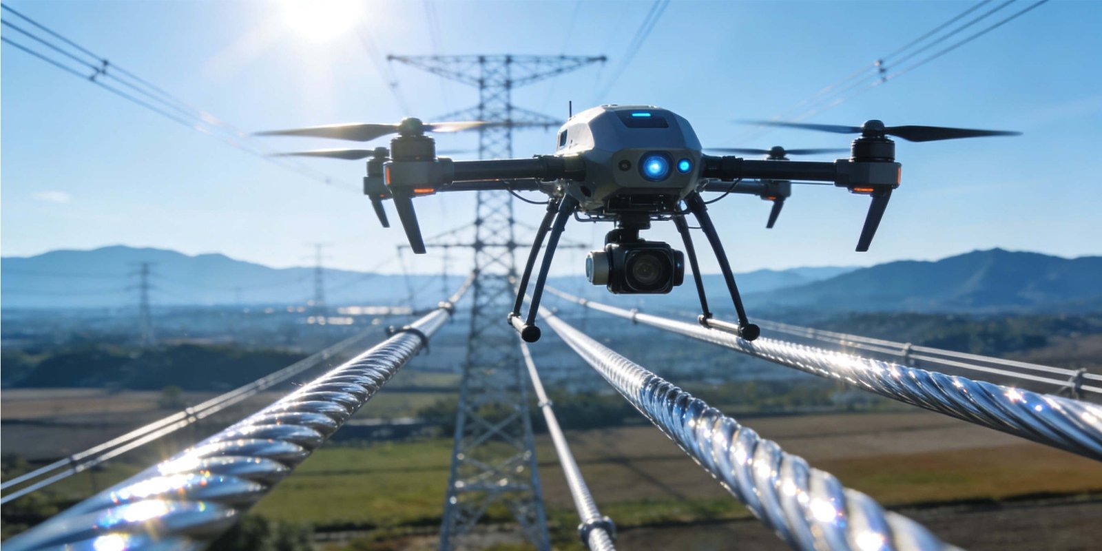
From consumer grade aerial photography to industrial inspection, from agricultural crop protection to surveying and modeling, from logistics distribution to security rescue, SoarApex’s “Eagle Eye” BVLOS Automatic Antenna Tracking System solution provides the most reliable wireless connection guarantee for various drone application scenarios.