
As the low altitude economy enters the deep-water zone of large-scale operation, low altitude flight safety has become the absolute lifeline. From autonomous obstacle avoidance to quantum navigation, five cutting-edge technologies are fundamentally redefining the boundaries of safe urban air mobility.
From drones shuttling over cities to eVTOLs preparing to carry passengers, every takeoff and landing concerns public low altitude flight safety and industry reputation. The traditional “isolated airspace + manual monitoring” model can no longer meet the demands of high-density, high-frequency, multi-altitude mixed operations. These five technologies upgrade the low altitude flight safety paradigm from passive protection to active immunity—becoming the cornerstone of trust for urban air traffic.
Autonomous Flight & Intelligent Obstacle Avoidance
Based on multi-sensor fusion (LiDAR, vision, millimeter wave radar) embedded with real-time deep learning algorithms, aircraft now possess the ability to autonomously perceive, decide, and avoid obstacles in complex dynamic environments—directly advancing low altitude flight safety in urban corridors.
The new generation 4D imaging radar cost has dropped by 60%, integrated with high dynamic range visual cameras to effectively handle nighttime, rain and fog, and urban “visual traps” like glass curtain walls. In early 2026, Meituan drones achieved fully automated safe operation during moderate rain in Shenzhen.
Swarm Intelligence
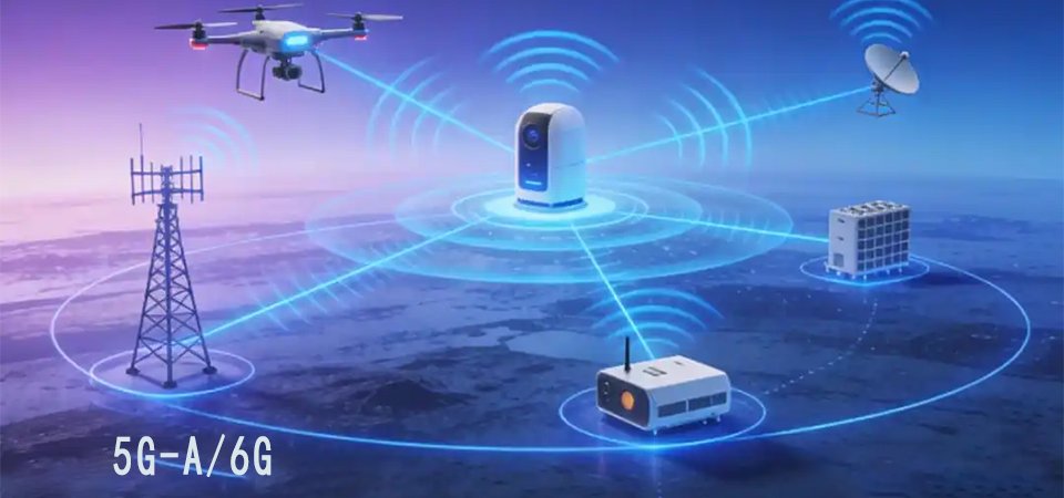
Through 5G-A/6G Sidelink, drone swarms share real-time obstacle information, forming a “digital warning zone.” In China Mobile and Huawei’s joint demonstration, a crane recognized by one drone alerted all aircraft within 3km in under 100ms.
Safety Value: Moving accident prevention from remote controllers to the aircraft itself significantly reduces human error and communication delay—a prerequisite for BVLOS operations and low altitude flight safety in densely populated urban areas.
Quantum Navigation Enhanced with BeiDou-3
Utilizing the extreme accuracy and independence of quantum inertial measurement units (Q-IMUs), deeply integrated with the BeiDou-3 global satellite navigation system and its satellite/ground-based augmentation services to fortify low altitude flight safety in GPS-denied environments.
Guoyi Quantum and others have improved miniaturized quantum gyroscopes and accelerometers to 0.001°/hour accuracy, now applied to high-end industrial drones and eVTOL prototypes. In satellite-denied environments like canyons and high-rise districts, positioning error stays below 1 meter per hour.
Navigation Anti-Spoofing
Based on quantum key distribution and BeiDou navigation signal authentication, the system effectively defends against GPS/BeiDou spoofing attacks—preventing UAVs from being illegally hijacked.
Safety Value: Provides irreplaceable PNT (Positioning, Navigation, Timing) backup, ensuring low altitude flight safety and continuity in extreme situations—the “anchor” for low altitude aircraft penetrating complex geographical and electromagnetic environments.

Distributed Electric Propulsion & Flight Control
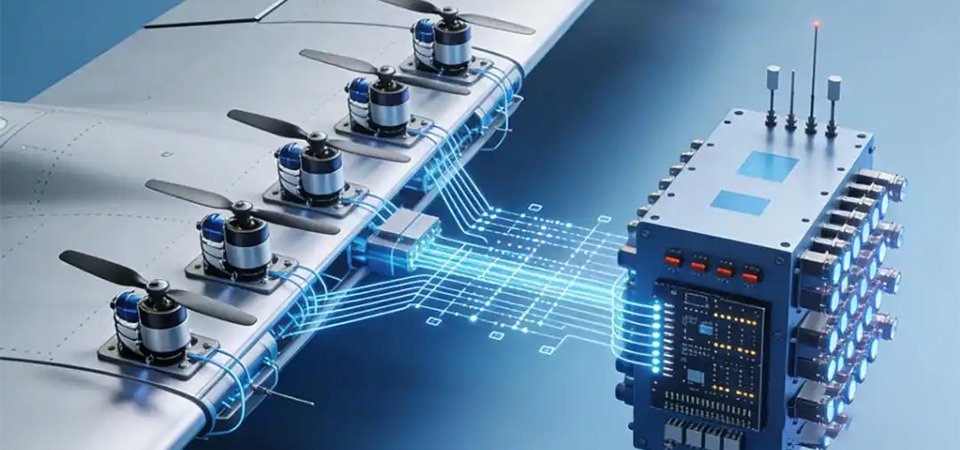
Transforming traditional single or few engines into a distributed layout of multiple independent low-power motors, combined with advanced flight control algorithms to achieve power redundancy and new aerodynamic control capabilities that elevate low altitude flight safety to unprecedented levels.
Mainstream tilt-rotor eVTOLs and composite-wing drones now commonly use 6–8 or more electric units. After a single motor failure, the flight control system redistributes remaining thrust within milliseconds to ensure safe landing. EHang’s EH216-S has passed single motor failure safety tests.
Battery Breakthrough
CATL’s aviation-grade “Kirin Battery Pack” adopts thermoelectric separation and intelligent fuse technology, strictly isolating individual cells from thermal runaway. BMS predicts battery health in real time for early warning.
Safety Value: Fundamentally solving the fatal “single point failure” risk of traditional aircraft. Power system failures transform from catastrophic events to manageable incidents through redundancy design, directly improving low altitude flight safety and rapid electronic control response.
5G-A/6G Integrated Sensing & Communication
Leveraging the high bandwidth, low latency, high reliability, and inherent sensing capabilities of 5G-A/6G networks to build a continuous coverage communication, monitoring, and control integrated network for low altitude flight safety management.
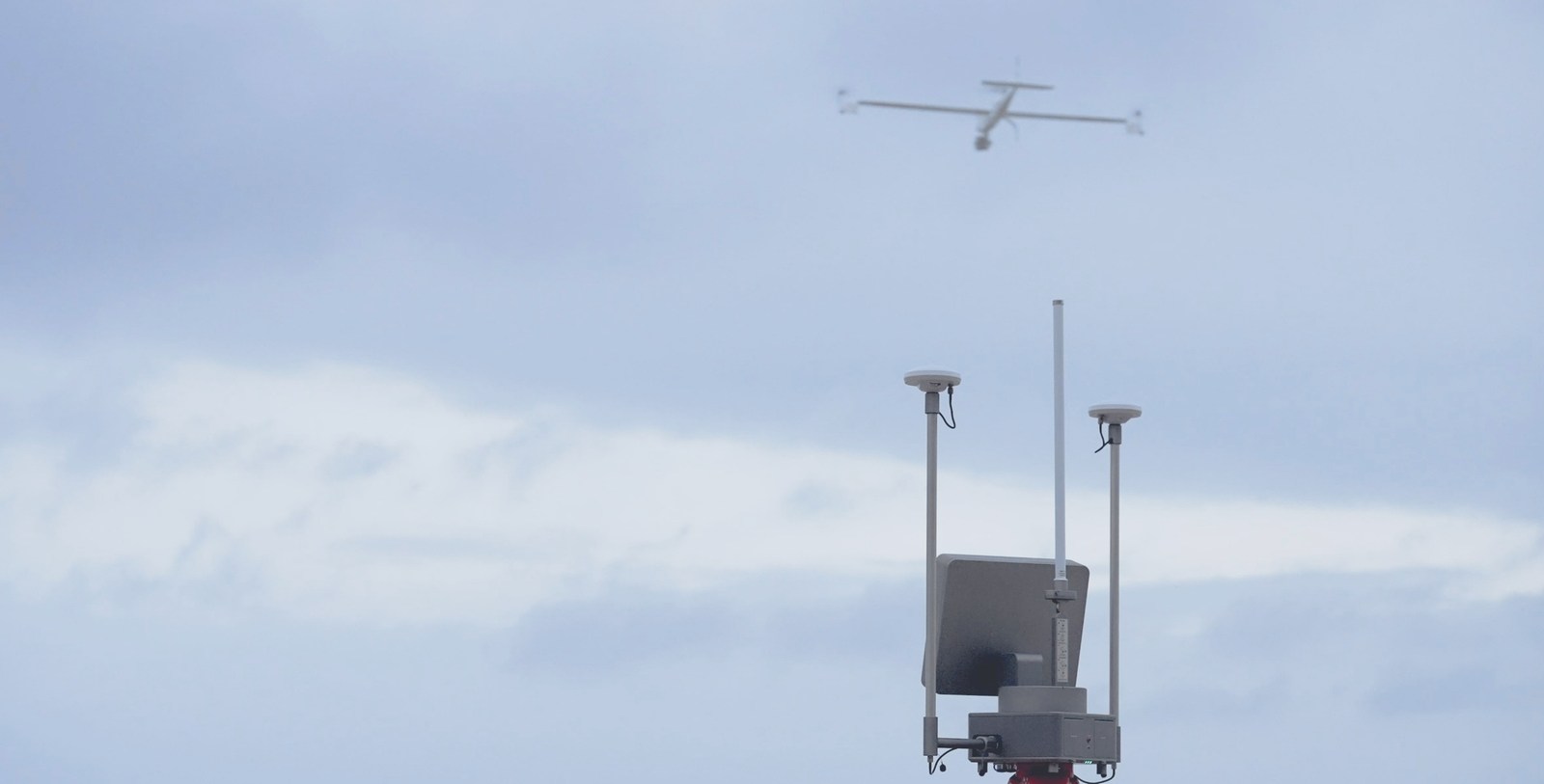
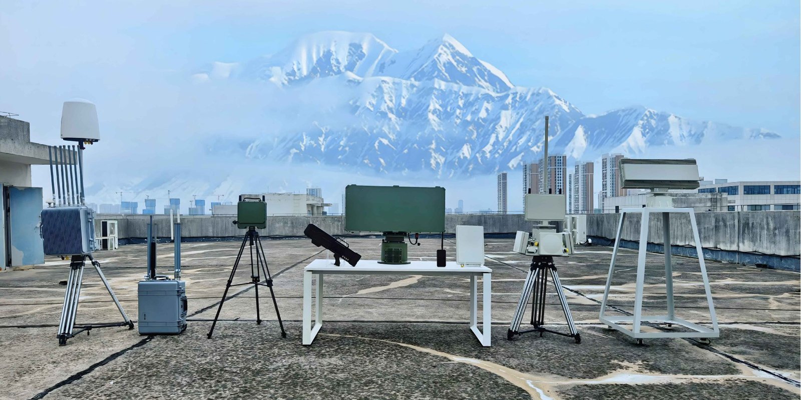
In pilot cities like Shenzhen and Hefei, operator base stations have been upgraded to Integrated Sensing and Communication (ISAC) stations. These can not only transmit data but also detect and track drone position, speed, and trajectory like radar—enabling monitoring of non-cooperative “black flying” drones.
Key Capabilities
- Single station detection range exceeding 2km with meter-level accuracy
- URLLC air interface latency stable within 5ms for remote takeover
- Network slicing priority for drone logistics, eVTOL, and public safety
Safety Value: Upgrading communication from a “data pipeline” to an “active perception and monitoring network,” achieving transparent supervision of all aircraft in the airspace and revolutionizing low altitude flight safety at the city level.
Digital Twin & Autonomous Airworthiness Verification
Building a high-fidelity virtual model that maps 1:1 with the physical world, simulating all possible scenarios an aircraft may encounter throughout its entire lifecycle through ultra-high computing power to validate low altitude flight safety before any physical flight.
Based on platforms like NVIDIA Omniverse, combined with computational fluid dynamics, high-precision meteorological data, and urban information models (CIM), surreal digital cities containing micro wind fields, building turbulence, and electromagnetic environments can be simulated for risk assessment.
Accelerated Certification
CAAC’s “Digital Twin Based Compliance Method” (DBCM) allows new eVTOLs to conduct millions of flight hours of extreme condition testing digitally—transforming physical test flights into digital verification and shortening airworthiness cycles by over 30%.
Safety Value: Shifting low altitude flight safety work from “post-investigation” to “prevention in advance” and “prediction during events.” Finding and solving extreme cases impossible to test in the real world due to cost or ethical constraints.
Conclusion: Redefining Low Altitude Flight Safety
By 2026, low altitude safety is no longer an isolated compliance issue, but a dynamically evolving capability network woven by hardcore technologies.
These five black technologies—autonomous perception, quantum navigation, distributed power, integrated sensing network, and digital twin—are working together to open a broader and safer sky from the five dimensions of perception, positioning, power, communication, and verification.
They mark the low altitude flight safety paradigm of the low altitude economy shifting from “passive protection” to “active immunity” and “system resilience.”
For industry participants, their understanding and depth of application of these technologies will directly determine their security qualifications and trust level in future market competition.
Related SoarApex Systems
Build a complete low altitude safety ecosystem with our integrated unmanned solutions.
External Resources
Technical references and industry standards for low altitude flight safety and urban air mobility.
Wikipedia overview of urban air mobility concepts, eVTOL aircraft, and regulatory frameworks.
Technical foundation of quantum inertial measurement units and quantum navigation systems.
Virtual replica technology enabling simulation, prediction, and optimization of physical systems.
International Civil Aviation Organization safety standards and recommended practices for unmanned aircraft.
3GPP standards for 5G-Advanced integrated sensing and communication for low altitude networks.
Stay Ahead of Low Altitude Flight Safety
SoarApex delivers cutting-edge unmanned systems engineered for the future of safe urban air mobility. From VTOL platforms to command terminals, we build the infrastructure for next-generation flight safety.
Explore Our Solutions