
Precision Flight.
Uncompromised Control.
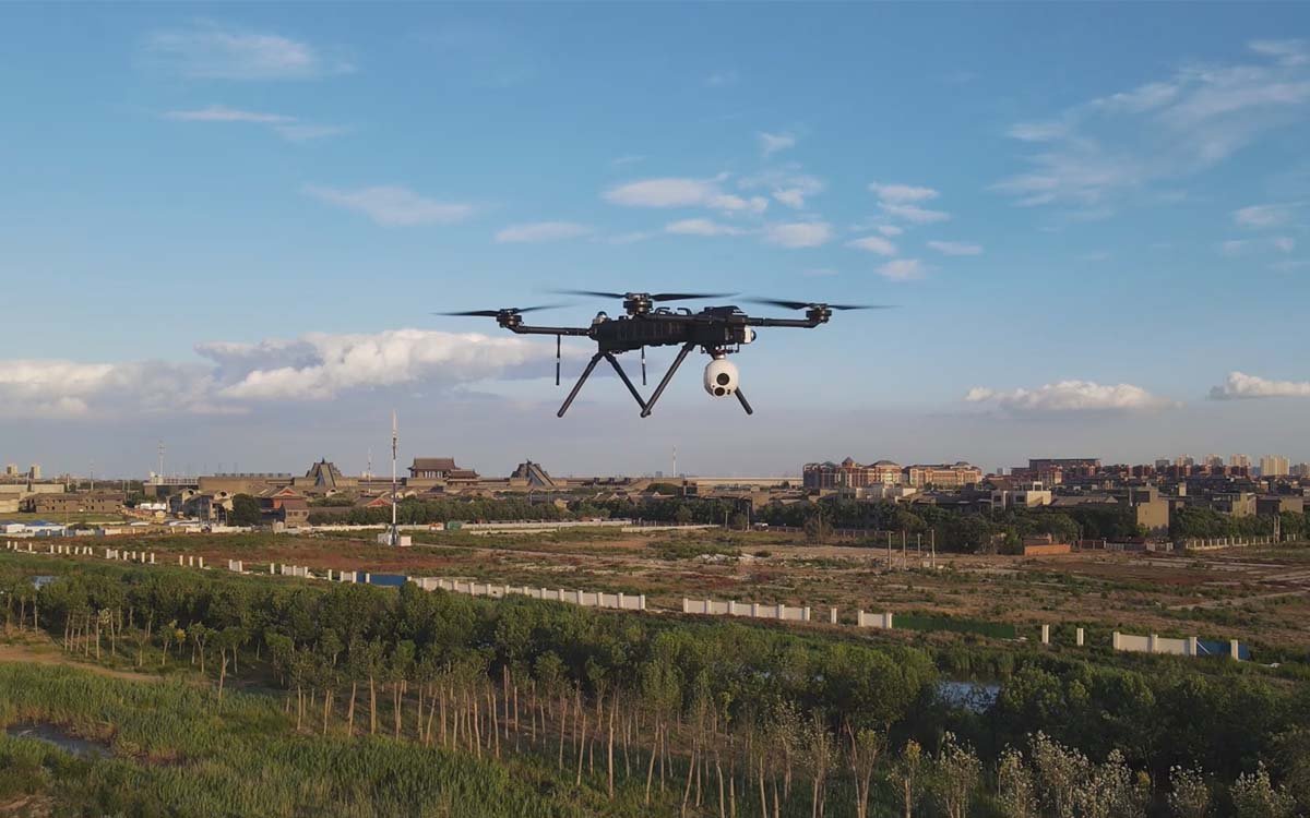
Industrial-grade eX4 quadcopter drone systems engineered for long-endurance missions, multi-payload versatility, and reliable BVLOS operations in demanding environments.
Built for Demanding Missions
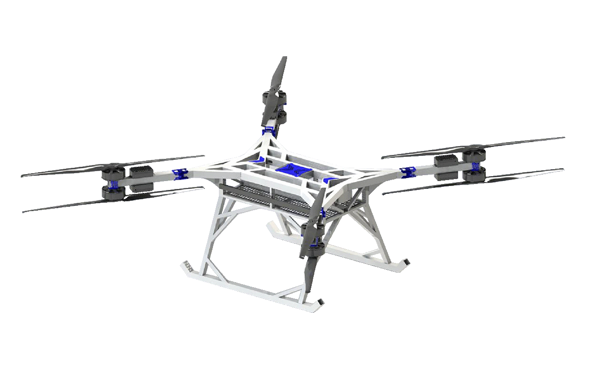
Every component of the eX4 quadcopter drone platform is optimized for reliability, endurance, and precision in real-world industrial operations.
Extended Flight Endurance
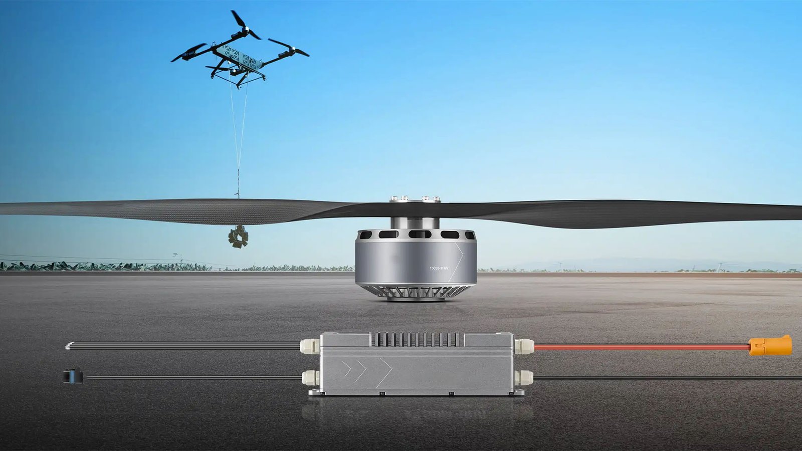
High-density power system delivers up to 60 minutes of continuous flight, maximizing mission coverage per sortie.
Multi-Payload Versatility
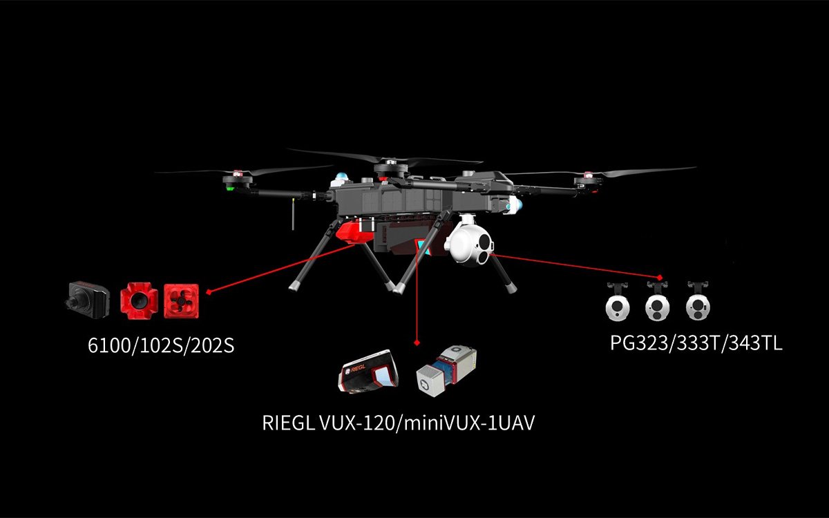
Triple-mount architecture supports EO/IR gimbals, LiDAR, and custom payloads simultaneously without compromising flight stability.
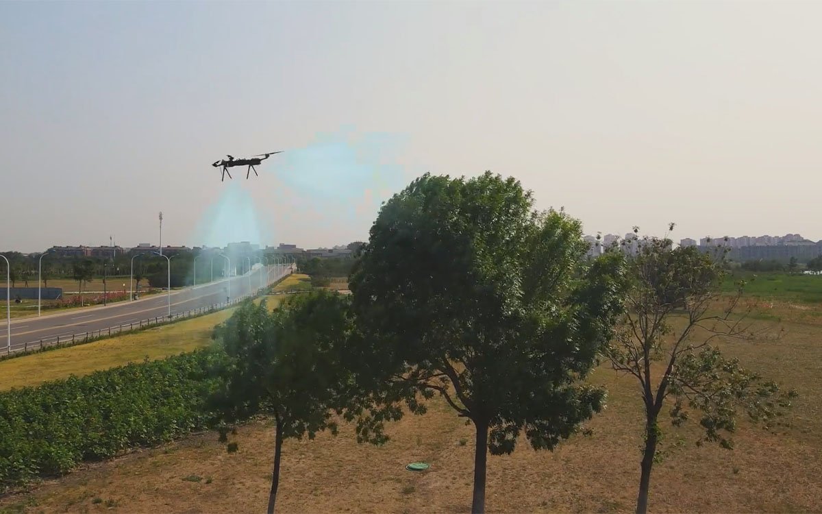
All-Weather Wind Resistance
Aerodynamically optimized frame and intelligent flight control maintain stability in sustained winds up to Level 6.
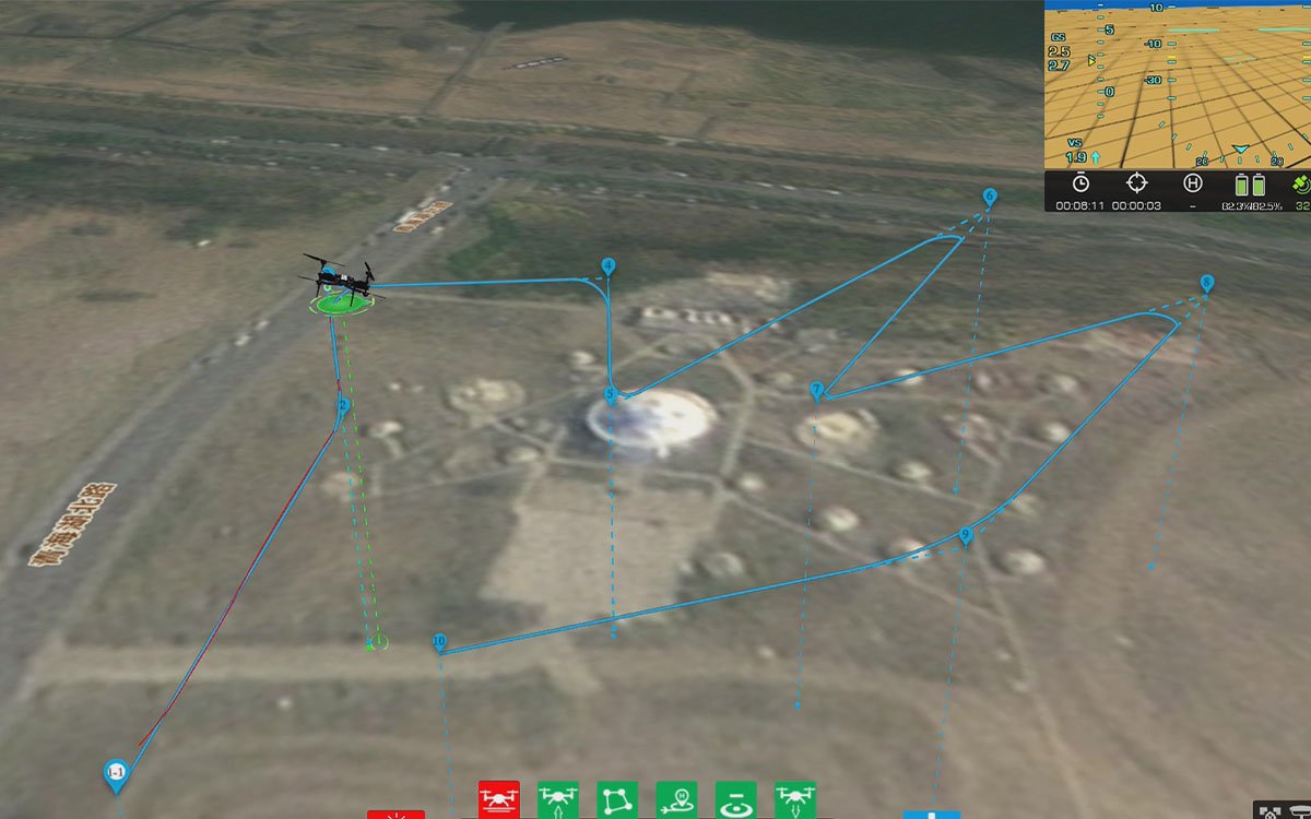
Extended Control Range
Integrated long-range data link ensures reliable command and telemetry transmission up to 20 km in BVLOS operations.
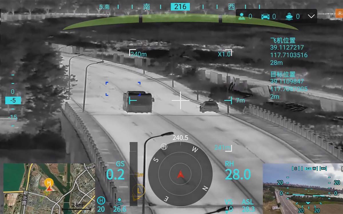
RTK Precision Positioning
Dual-frequency RTK-GNSS module provides centimeter-level horizontal accuracy for survey, mapping, and repeatable autonomous routes.
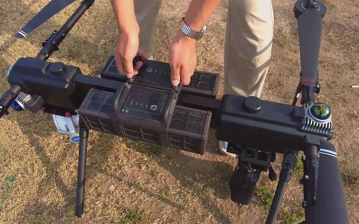
All-Terrain Durability
IP54-rated protection against dust and water ingress, with carbon-fiber reinforced arms engineered for repeated field deployment.
Versatile by Design
From precision mapping to tactical overwatch, the eX4 quadcopter drone platform adapts to diverse operational requirements across industries.
Aerial Survey & Mapping
High-precision photogrammetry and 3D terrain modeling for cadastral surveying, mining volumetrics, and topographic mapping.
Infrastructure Inspection
Automated flight paths for power lines, wind turbines, bridges, and pipelines with high-resolution defect detection.
Search & Rescue
Rapid deployment in emergency scenarios with thermal imaging, real-time coordinate relay, and loudspeaker broadcasting.
Agriculture Monitoring
Crop health analysis, irrigation planning, and yield estimation via multispectral and NDVI sensor integration.
Security & Surveillance
Perimeter patrol, event monitoring, and tactical overwatch with persistent loiter capability and encrypted video downlink.
Environmental Monitoring
Wildlife tracking, air quality sampling, and ecological data collection in remote or hazardous areas.
Frequently Asked Questions
Everything you need to know about the eX4 quadcopter platform before deployment.
What is the flight endurance of the eX4 quadcopter drone series?
What payloads can the eX4 quadcopter drone carry?
Is the eX4 suitable for BVLOS surveying missions?
Does the eX4 support RTK positioning for industrial inspection?
Recommended for eX4
Pair the eX4 quadcopter drone platform with these core subsystems to build a fully integrated BVLOS communication and control solution.
Ground Station C2
Portable and integrated GCS units with dual-HD screens, joystick control, and mission planning software for full-platform compatibility.
Learn MoreData Link System
Long-range wireless video and data transmission modules with AES encryption, frequency hopping, and adaptive bitrate for harsh RF environments.
Learn MorePower Station
Field-deployable 4200W battery charging stations with fast-charge architecture to keep your eX4 fleet mission-ready around the clock.
Learn MoreEO/IR Gimbal
Three-axis stabilized gimbal with 30x optical zoom, thermal imaging, and AI-powered target tracking for day-night operations.
Learn MoreReady to Deploy the eX4?
Talk to our aerospace engineers about mission-specific configurations, payload integration, and fleet deployment. We provide full technical support from trial to operational deployment.